
Patna: Bihar, once famed for its abundant ponds, rivers, and lakes, has taken a bold step to reclaim its aquatic heritage, becoming the first Indian state to publish a gazetteer-cum-atlas of its water bodies. This ambitious initiative, led by the Revenue and Land Reforms Department, aims not only to document the state’s 550 rivers, 4,500 wetlands, and over 1.06 lakh lakes and ponds but also to crack down on encroachments that have steadily eroded its water security.

The move comes at a critical time. Bihar’s water availability is increasingly threatened by climate change, falling rainfall, and reckless land use, leaving many areas parched during the summer months. The atlas, which was five years in the making, offers district-wise details of all water sources, alongside geological, socio-economic, agricultural, and historical data — providing both a conservation tool and an anti-encroachment weapon.
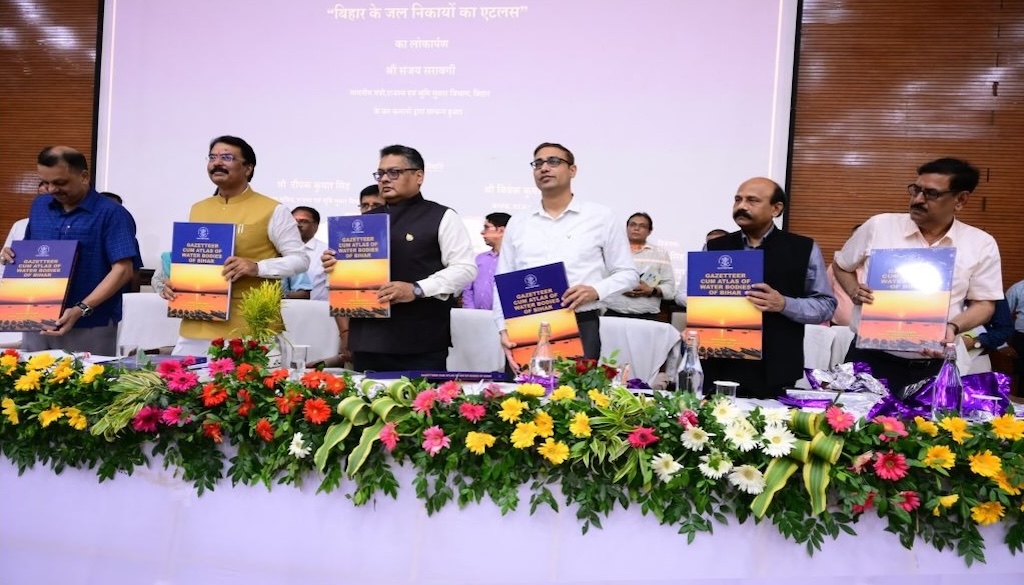
Launching the gazetteer on May 10, Revenue and Land Reforms Minister Sanjay Saraogi credited Chief Minister Nitish Kumar’s focus on water and greenery, recalling Kumar’s own shock during a visit to Darbhanga — once celebrated as the city of ponds — where the alarming depletion of water bodies prompted him to launch the Jal-Jeevan-Hariyali Mission.

Deepak Kumar Singh, the current additional chief secretary of the department, noted that much of the previously encroached water bodies have been freed under the Jal-Jeevan-Hariyali scheme. But he cautioned that protecting water sources is a continuous battle. “Encroachments are dynamic. Panchayat sevaks or other officials report them, and the circle officers remove them, but the challenges keep evolving,” he said.
Officials are already mobilising district and zonal teams with detailed maps from the atlas to plan anti-encroachment drives and identify priority areas for creating new ponds, particularly in panchayats with no existing water bodies. “Water demand is rising, supply is shrinking. The data in the atlas will help us bridge this gap and plan irrigation more effectively for our farmers,” Singh added.
Vivek Kumar Singh, former additional chief secretary who conceived the project in 2017, explained that the project relied on data from the Survey of India, Census, meteorological services, space agencies, and state departments, with ground-level data collected by panchayat sevaks and revenue clerks, ensuring hyper-local accuracy. “This has been done in a very advanced manner. Now we can use satellite and remote sensing data to monitor encroachments and even create new water bodies where none exist,” he said.
With the Central Water Resources Department now seeking a copy of the atlas, Bihar’s initiative may soon become a model for other states grappling with similar water crises.


