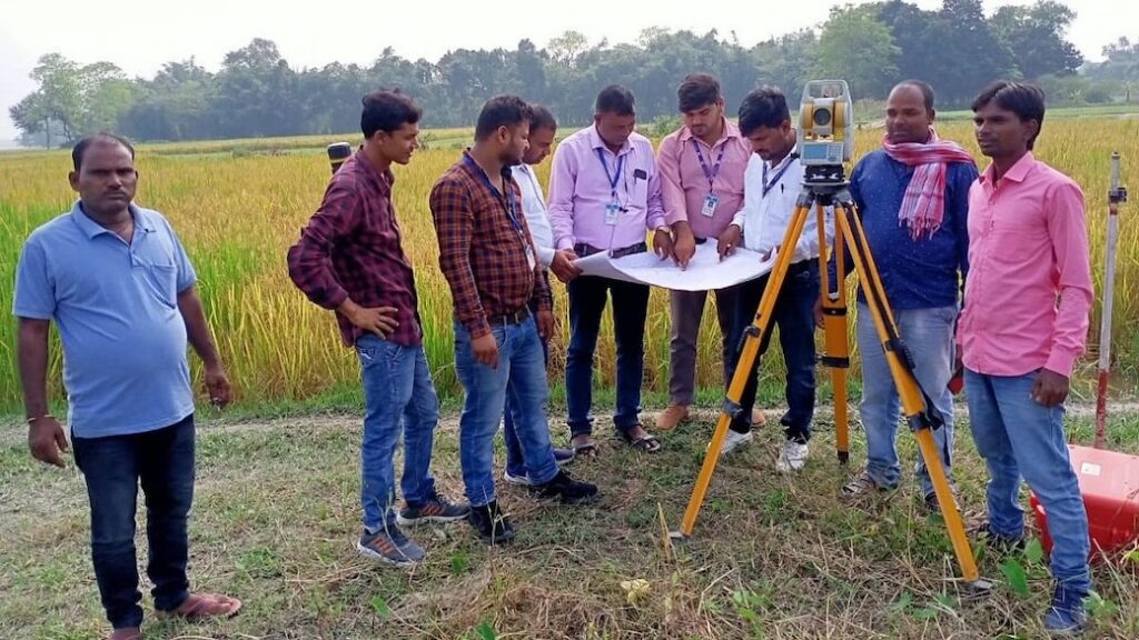
Land Survey Underway in 1,300 Villages Across Patna District; Over 4 Lakh Applications Received

Patna: A comprehensive land survey is currently underway across 1,300 revenue villages in the district, covering a total of 13,85,842 Jamabandi (land records) and 15,75,314 Khesra (plot numbers), officials said.
According to Settlement Officer Neeraj Seth, the survey department has received 4,15,719 applications for land claims so far, of which 3,67,968 have already been uploaded to the official portal. Additionally, Khatian (land ownership records) for 1,231 Mauzas have been uploaded, marking significant progress in the digital documentation of land records.
Offline and Online Application Options Available
To ensure inclusivity, all 23 zone-level survey camps have been directed to continue accepting offline applications until further notice. “Camp in-charges have been instructed to appeal to the public through various means to encourage more participation,” said Seth.
Residents who are currently outside the district can submit their land claim applications online via the official website: https://dlrs.bihar.gov.in.
How to Apply and What if Documents Are Missing
Survey camps in each of the 23 zones are accepting walk-in applications. Authorities have clarified that individuals should apply even if they lack complete documentation. “If documents are missing, the survey team will request them from the respective zone office. The key step is to submit the land claim first,” Seth added.
What About Non-Applicants?
For those who do not apply voluntarily, survey amins (officials) will attempt to trace claimants during the physical land measurement. If no one steps forward, new Khatian records will be prepared in the name of the claimant’s ancestors.
Demarcation Work Begins
Officials have started demarcating village boundaries as part of the survey process. Boundary stones will be installed at key junctions where two or more villages meet. Land measurement will begin from these marked boundaries and move inward.


