
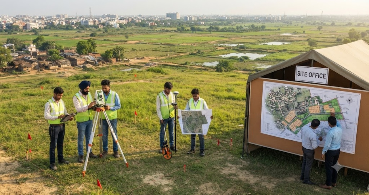
Patna: The land survey for Bihar’s proposed greenfield satellite township has been completed, paving the way for the next phase of verification and planning.

The authorities will now match the data collected during the survey with existing revenue records to establish the accurate measurement, status and area of every plot. The exercise is aimed at identifying discrepancies between ground conditions and government records and reducing the possibility of future land-related disputes.
Survey Data to Be Matched With Revenue Records

After completion of the ground survey, the survey map will be cross-checked with revenue records available at the circle level.
The map will be prepared on the basis of survey numbers, with the area of each individual plot recorded separately. If any difference is found between the land measured during the physical survey and the area or status recorded in government documents, the discrepancy will be documented separately.
Both the area found during the ground survey and the area recorded in the revenue documents will be retained for verification.
Old and Updated Land Records to Be Collected
The Urban Development and Housing Department has started the process of selecting a consultant agency for the next phase of the project.
The selected agency, in coordination with the concerned departments, will collect the latest settlement-year revenue records, rights records, case and litigation records, land maps and documents related to land acquisition.
Information regarding land ownership and land category will also be collected. This will help establish the actual area of each plot, the area recorded in government documents and the ownership or category under which the land is registered.
Land Ownership and Status to Be Verified
The verification exercise will provide a consolidated picture of the land falling within the proposed township area.
Officials will examine whether the information recorded in government documents corresponds with the situation found during the physical survey. Any differences in plot measurements, ownership details, land category or other records will be identified as part of the verification process.
The exercise is expected to provide a more reliable database for subsequent planning and land-use decisions.
Complete Land Data to Be Integrated Into GIS
All available information related to land within the township area will also be entered into a Geographic Information System (GIS).
The digital database will bring together details such as plot location, area, ownership, land category and other relevant records. This will allow planners and authorities to access and analyse land-related information through a common digital platform.
GIS-based mapping is also expected to make it easier to identify discrepancies and use verified land data while preparing the township plan.
Final Base Map After Verification
The final base map for the greenfield satellite township will be prepared only after the ground survey data has been verified against the revenue records and other relevant documents.
The process is intended to ensure that the township’s planning is based on accurate information about the land available on the ground as well as the corresponding government records.
Officials expect the verification and digital mapping exercise to help minimise potential land disputes and provide a clearer foundation for decisions related to land use, infrastructure and future development of the proposed township.