Bihar Agricultural University launches state’s first Remote Sensing and GIS Lab to boost flood and drought management
Diya Behl
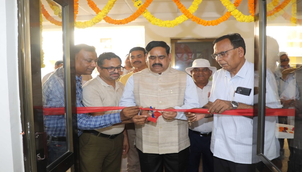
Sabour: Dr. D.R. Singh, Vice Chancellor of Bihar Agricultural University, inaugurated a new Remote Sensing and GIS Laboratory at the Department of Soil Science and Agricultural Chemistry on Thursday. The advanced facility is expected to transform geospatial techniques and natural resource management in the state, with a focus on land use planning and flood monitoring.
As the first lab in Bihar dedicated to processing microwave SAR and thermal satellite data, it aims to improve agricultural practices by providing accurate mapping and geospatial modeling. The lab’s technology will deliver valuable data and thematic maps through web GIS, enabling farmers and stakeholders to better manage agricultural risks associated with floods and droughts. The initiative is seen as a crucial step towards bolstering the resilience of Bihar’s agricultural sector.