Patna: The southwest monsoon has regained momentum in Bihar after weeks of below-normal rainfall, prompting the India Meteorological Department (IMD) to issue a seven-day red alert for heavy rainfall across the state until July 12.

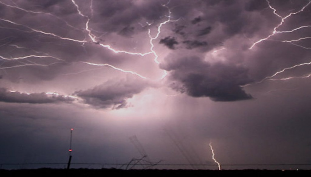
On Wednesday, the IMD issued a thunderstorm and rain alert for 24 districts, warning of gusty winds reaching speeds of up to 40 kmph. Cloudy skies are also expected over 14 districts, including Patna.
According to weather experts, the monsoon is likely to strengthen further over the next seven to ten days, with widespread rainfall expected across Bihar. Heavy rainfall is particularly likely during the next 48 hours.

Rainfall Deficit Begins to Narrow
The state had witnessed an unusually dry spell for nearly three weeks, leaving Bihar with a significant rainfall deficit. As of July 6, the state had received only 103 mm of rainfall against the normal 230.1 mm, representing a deficit of around 52–55%.
However, rainfall activity picked up on Tuesday, bringing showers to at least 15 districts, including Patna, Bettiah, Katihar, Madhubani, Sasaram and Aurangabad. Patna has remained under cloudy skies since Monday night, with intermittent rainfall reported from several areas.
Rain Triggers Localised Incidents
The revival of the monsoon has also led to weather-related disruptions in parts of the state.
Former Chief Minister Nitish Kumar had to cut short his visit to the Hazrat Gagandula Shah shrine in Nalanda after heavy rain interrupted the programme.
In Munger, rising river levels have triggered erosion along riverbanks, causing concern among farmers.
In Darbhanga’s Jale area, a major accident was narrowly averted when a large branch of a peepal tree collapsed onto a house early Tuesday morning. All seven members of the family inside escaped unharmed, although the house sustained severe damage.
Three-Day Weather Forecast
The IMD has forecast widespread rainfall and lightning activity across Bihar over the next three days:
- July 8: Rain and lightning are likely in Darbhanga, Katihar, Madhepura, Muzaffarpur, Purnia, Saharsa, Samastipur, Sheohar, Sitamarhi and Vaishali. Heavy rainfall is expected in Araria, Bhabua, Kishanganj, Madhubani and Supaul.
- July 9: Rain and thunderstorms are likely across 24 districts, including East and West Champaran, Gopalganj, Saran, Siwan, Muzaffarpur, Vaishali, Sitamarhi, Darbhanga, Madhubani, Supaul, Araria, Kishanganj, Purnia, Katihar, Munger, Bhagalpur, Banka and Khagaria.
- July 10: Madhubani and Supaul may experience heavy rain accompanied by gusty winds of 30–40 kmph and lightning. Heavy rainfall is also likely in East and West Champaran, while lightning is expected in districts including Araria, Darbhanga, Katihar, Kishanganj, Madhepura, Muzaffarpur, Purnia, Saharsa, Samastipur and Vaishali.
Weather Outlook
Meteorologists said the earlier weakening of the monsoon was caused by the formation of a low-pressure area near the Odisha coast in the Bay of Bengal, which shifted the monsoon winds southward. The absence of any strong western disturbance or other significant weather system over Bihar further reduced rainfall activity.
While humidity levels remain high and the heat index may continue to make conditions feel hotter than the actual temperature, forecasters expect monsoon activity to strengthen steadily over the coming week, bringing widespread rainfall across the state.