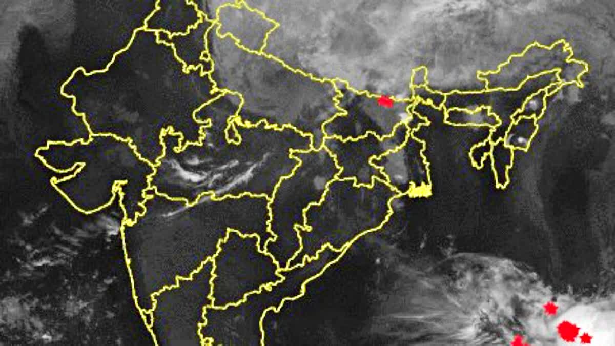
Patna: The spell of rain and strong winds that affected Bihar over the past 72 hours is beginning to weaken as the impact of Cyclone Arnab diminishes.

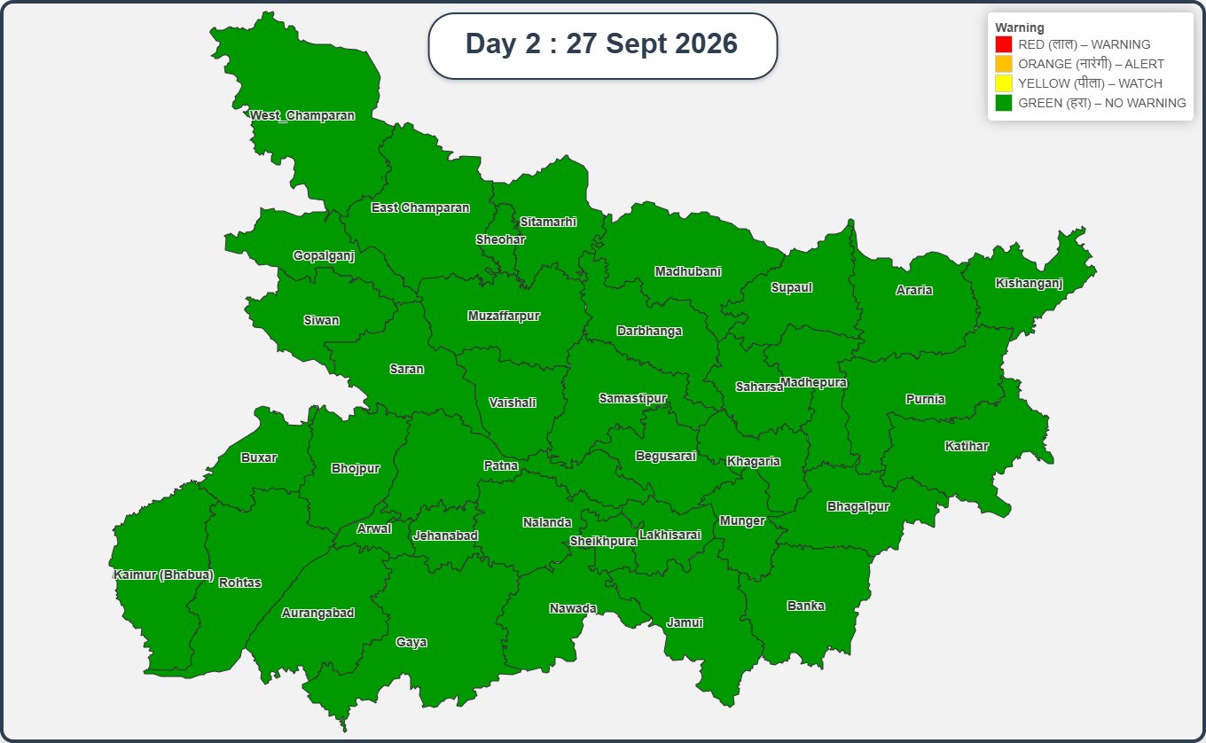
The India Meteorological Department has not issued a rainfall alert for any district in Bihar for Sunday, September 27.
Weather conditions are expected to remain largely normal, although skies may remain cloudy in parts of the state, including Patna. Isolated light rain accompanied by thunderstorms is also possible.

Sunshine To Return, Heat To Rise
According to the India Meteorological Department, rainfall activity is expected to remain subdued from September 27 to 30.
Several districts are likely to see sunshine during this period. With the rainfall easing, temperatures and humidity are expected to rise again.
In Patna, the maximum temperature could reach around 34°C on September 28, while temperatures are expected to remain between 34°C and 35°C on September 29 and 30.
The state had recently experienced a sharp drop in temperatures, with maximum temperatures falling to around 25°C in some areas under the influence of the cyclone. With the rain now weakening, temperatures are expected to climb again.
Khagaria Records 474% Above-Normal Rainfall
The impact of the recent weather system was particularly strong in several districts.
Khagaria recorded rainfall 474% above normal during the last 24 hours, while Siwan and Begusarai recorded rainfall around 450% above normal. Munger received more than 339% above-normal rainfall.
Heavy rainfall was also recorded in six districts, including Patna, while dark clouds remained over several areas for much of the day.
Purnia Records Highest Temperature
On Saturday, Purnia recorded Bihar’s highest maximum temperature at 33.2°C.
Bhagalpur recorded 31.8°C, Kaimur 31.1°C and Gaya 31°C. The maximum temperature was 29.1°C in Darbhanga and 27.7°C in Patna.
The relatively low temperatures reflected the influence of the prolonged rainfall and cloud cover.
How The Weather System Intensified Rain
The weather system responsible for the recent spell originated in the Bay of Bengal, where a low-pressure area initially formed before intensifying into a cyclonic system.
The system brought substantial moisture into Bihar. At the same time, a Western Disturbance was active over North India.
The combined influence of the two weather systems intensified rainfall across several parts of the state.
Over the past three days, several areas received heavy rain, while wind speeds reached up to 50 kmph.
With the system now weakening, Bihar is expected to see a gradual return to more settled weather, along with rising temperatures and humidity in the coming days.