Patna: Bihar is likely to witness the first signs of winter within a week, with temperatures expected to fall after October 16 as north-westerly winds gradually gain influence across the state.

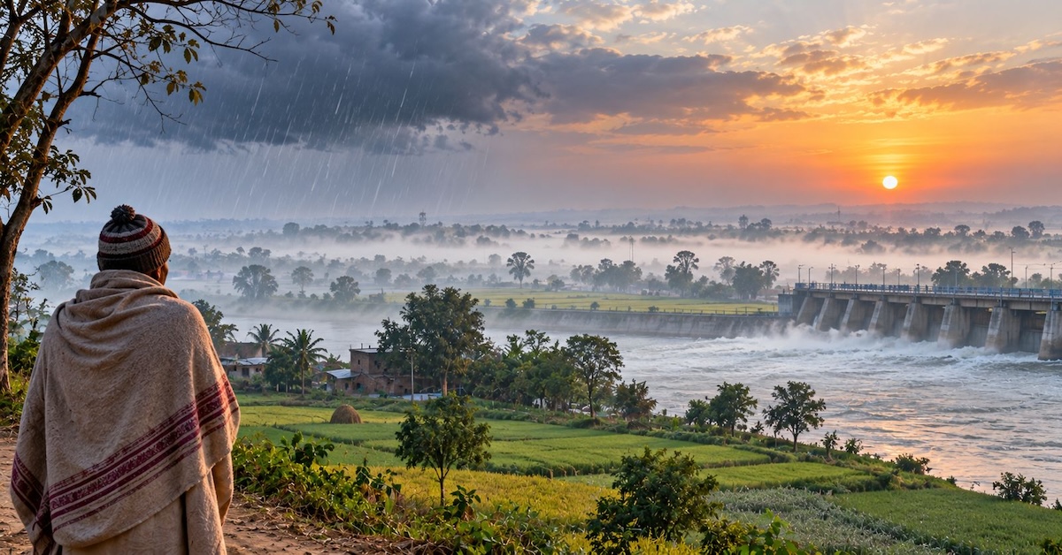
According to the India Meteorological Department, maximum and minimum temperatures could decline by an average of 2°C after October 16, bringing a noticeable chill during the mornings and evenings. Partial mist may develop in rural areas and near riverbanks, although the impact of the cold is expected to remain limited in urban areas for now.
Light rainfall is forecast in eight districts on Monday, while scattered showers are possible in parts of the state on October 16 and 17.

Light Rain Likely In 8 Districts
East Champaran, West Champaran, Gopalganj, Siwan, Saran, Buxar, Bhojpur and Kaimur may receive light rainfall on Monday.
Weather conditions are expected to remain largely normal across the remaining districts, with maximum temperatures ranging between 30°C and 33°C and minimum temperatures between 22°C and 25°C.
Meteorologists said the influence of north-westerly winds would gradually increase, even as easterly winds continue to prevail in some parts of Bihar.
A Western Disturbance is currently active over the mountainous regions. Its influence, along with changing wind patterns, could bring scattered rainfall on October 16 and 17. Minimum temperatures may initially rise before declining more noticeably.
Temperatures Rise In 20 Cities
Despite the approaching seasonal transition, maximum temperatures rose on Sunday in 20 cities, including Patna.
The increases recorded in selected locations were:
- Darbhanga: 4.2°C
- Sheikhpura: 4.1°C
- Supaul: 3.8°C
- Muzaffarpur: 3°C
- Purnia: 2.6°C
- Vaishali: 2.4°C
- Bhagalpur: 2°C
- Aurangabad: 1.9°C
- Valmikinagar: 1.8°C
- Patna: 1.7°C
Sheikhpura recorded 52.2 mm of rainfall on Sunday, the highest among the locations cited in the weather update. Barahiya in Lakhisarai received 30.2 mm, Ghoswari in Patna district recorded 27.2 mm, Khutauna in Madhubani received 24.2 mm and Mokama recorded 19.2 mm.
Light rainfall was also reported in Begusarai, Samastipur, Nalanda and a few other areas.
The post-monsoon rainfall deficit currently stands at 30%, while scattered showers are expected towards the end of the week under the influence of a Western Disturbance.
Monsoon Withdrawal Continues
The southwest monsoon is continuing to withdraw from Bihar, with the withdrawal line currently passing through Supaul. Scattered rainfall has nevertheless continued in parts of north Bihar.
The changing wind pattern is expected to contribute to a gradual decline in temperatures over the coming days, signalling the transition towards cooler weather.
Budhi Gandak Surge May Raise Valmikinagar Barrage Inflow
Meanwhile, a sudden increase in the flow of the Budhi Gandak River following landslides in Nepal may lead to higher water discharge at Valmikinagar Barrage in West Champaran.
The Water Resources Department has indicated that no major impact is anticipated in Bihar at this stage.
Authorities will continue to monitor the situation as the monsoon withdrawal progresses and weather conditions change across the state.