The workshop was organised around the theme, ‘Empowering Governance: Leveraging Space-Based Solutions for a Progressive Bihar’. During the event, the Chief Minister launched the ‘TechConnect’ portal. A Memorandum of Understanding (MoU) was also signed between the Bihar Remote Sensing Application Centre (BIRSAC) and the Survey of India to strengthen cooperation in geospatial technology and land surveying.

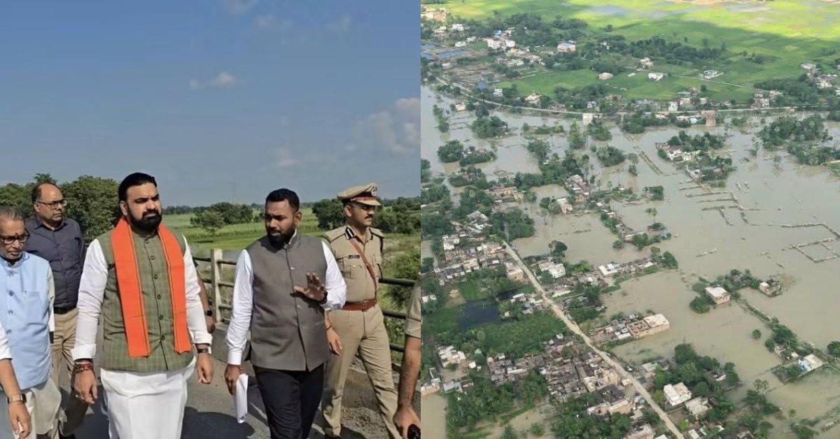
Addressing the gathering, Choudhary highlighted the importance of satellite-based monitoring and scientific forecasting in tackling Bihar’s recurring floods. He pointed out that water levels in the Ganga, Son and Gandak rivers are influenced by water flows from Nepal, Madhya Pradesh and Uttar Pradesh.
He said Bihar had received 32% less rainfall this year, yet managing river flows remained a challenge. He stressed that space technology and accurate scientific forecasting could improve flood surveillance, water management and disaster preparedness.

The Chief Minister also called for scientific studies and coordination with neighbouring states to ensure that Ganga water could be utilised throughout the year for drinking water and irrigation.
Satellite Data to Strengthen Flood Management and Urban Planning
The state government is looking to use satellite imagery and Geographic Information System (GIS) mapping for better monitoring of river flows and water resources. These technologies are expected to help provide timely alerts about changing water levels and support more effective flood management.
The proposed collaboration between BIRSAC and the Survey of India is also expected to strengthen land surveys and mapping for major development projects. One of the key areas of focus is the planned development of 12 new townships across Bihar.
Geospatial technology could also support complex land-related exercises, including land consolidation (Chakbandi), by improving the accuracy and efficiency of surveys and reducing delays in administrative processes.
Bihar continues to face recurring challenges due to annual floods and the uneven distribution of natural resources. The government is looking at technology-driven solutions to improve resource management and support long-term infrastructure planning.
12 New Townships to Be Developed Through Scientific Planning
Emphasising the need to translate scientific research into practical solutions, Choudhary urged scientists and technical institutions to develop tools suited to Bihar’s specific requirements.
He said technological innovations should not remain confined to laboratories but should be implemented on the ground to address real challenges faced by people and the administration.
Highlighting the state’s focus on technical education and skill development, the Chief Minister said engineering courses in Bihar had a fee of Rs 10, while polytechnic courses cost just Rs 5. He said the government was working to equip young people with technical skills.
He further announced that 12 new townships would be developed in the state, named after historical heritage sites and planned using scientific and systematic approaches.
Deputy Chief Ministers Vijay Kumar Choudhary and Bijendra Prasad Yadav, Minister Sheela Kumari, IN-SPACe Joint Secretary Anupam Anand, Secretary Himanshu Sharma and D.B. Khot were among those present at the workshop.