
Patna: The Bihar Revenue and Land Reforms Department will launch a 45-day campaign from September 15 to October 31 to make land records more transparent and up to date, Minister Dr Dilip Kumar Jaiswal said on Tuesday.

Under the campaign, digitised Jamabandi records will be cross-verified with scanned copies of the original Jamabandi registers. The department will also undertake succession-based mutation to transfer land titles to the legal heirs of deceased Jamabandi holders.
The department’s digital land-record systems already provide access to Jamabandi records and services for correcting errors in digitised entries.

Errors In Land Records To Be Rectified
Chief Secretary Pratyaya Amrit has issued a letter to all divisional commissioners, district magistrates and settlement officers, directing them to complete the exercise within the stipulated period.
The campaign will cover discrepancies in the Raiyat’s name, father’s name, Khata-Khesra details, land area, rent and other particulars when they differ from the original records.
Entries showing zero area or zero rent, as well as cases where required information is missing, will also be corrected.
Daily Monitoring At District And State Levels
Under the monitoring mechanism, Circle Officers will submit daily progress reports to the Deputy Collector (Land Reforms) and the Additional Collector.
The Additional Collector will act as the district nodal officer, while the District Magistrate will conduct regular reviews, including daily monitoring of the campaign.
The department will also track progress through video conferences.
Random Checks For Quality Control
The department has prescribed random verification at multiple levels to check the quality of corrections.
Deputy Collectors (Land Reforms) will verify 5% of cases in each circle, Additional Collectors will verify 2%, and District Magistrates will verify 1% of cases.
Verification Of Large Government Land Parcels
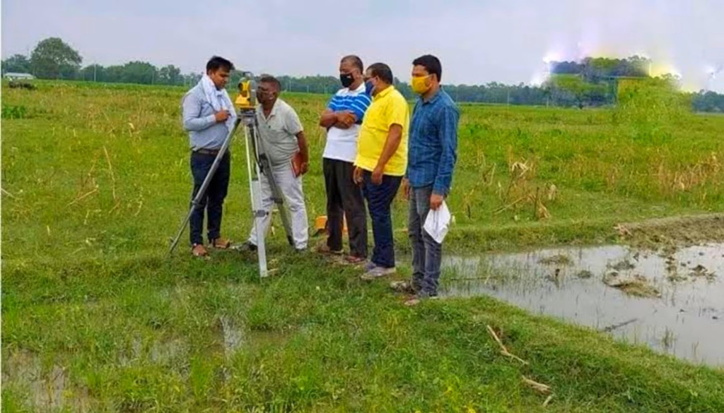
The campaign will also include field verification of government land parcels measuring five acres or more that are recorded in the government land database.
A Mauza-wise list of such land parcels will be prepared and supplied for on-site verification.
The exercise is intended to reconcile digitised records with original land records while identifying discrepancies that require correction.