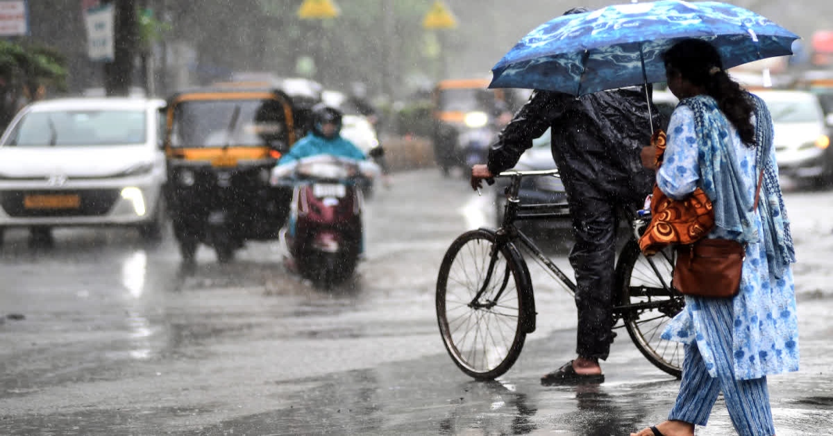
Patna: The southwest monsoon has started withdrawing from Bihar earlier than usual, with the withdrawal line now passing through Supaul. The monsoon typically retreats from the state around October 10-11, but this year its withdrawal has begun nearly a week ahead of schedule.

The monsoon has already withdrawn from several districts in southwestern Bihar, including Patna. However, the withdrawal does not mean that rainfall will stop immediately, as weather systems over the region could bring light rain to some parts of the state over the next few days.
According to the Patna Meteorological Centre, a low-pressure area developing over the Bay of Bengal is likely to influence weather conditions in Bihar between October 6 and 9. Light rainfall is possible in some districts during this period.

Heavy rain possible in eight north Bihar districts
The Meteorological Centre has forecast the possibility of heavy rain in eight districts of north Bihar bordering Nepal on Tuesday. No weather alert has been issued so far.
Patna and most other districts are likely to experience relatively normal weather, with bright sunshine and humid conditions expected to increase discomfort during the day.
A trough extending from northwest Uttar Pradesh to Bangladesh is passing over Bihar, Jharkhand and Gangetic West Bengal. The system is helping maintain moisture over the region and could result in cloud formation and light rainfall in parts of north Bihar.
An upper-air cyclonic circulation is also present over Bihar and neighbouring areas at around 5.8 km above sea level, which could support localised cloud development and rainfall.
Flood situation continues in six districts
The early withdrawal of the monsoon comes as parts of Bihar continue to deal with flooding. Around 466 villages in six districts remain affected, with nearly 8 lakh people reported to have been impacted by the floods.
Authorities have shifted around 92,730 flood-affected people to safer locations.
Saran remains among the worst-affected districts. Meanwhile, the Ganga water level in Patna has started to recede gradually.
Flooding has also affected areas of Munger and Khagaria, where rising river levels have inundated villages and roads.
Another trough extending towards Odisha
A separate trough is extending from north-central Bihar to north Odisha at an altitude of around 1.5 km. The system passes through Jharkhand and Gangetic West Bengal and could trigger localised changes in weather conditions over parts of Bihar.
The India Meteorological Department has also indicated the presence of a fresh western disturbance in the middle and upper troposphere. Its direct impact on Bihar is expected to remain limited, although it may influence weather conditions across northern parts of the country.
Patna weather forecast
Patna is likely to remain mainly sunny and humid on Tuesday. Strong sunshine during the day could make temperatures feel higher, while light clouds may appear intermittently.
The possibility of rain in the state capital remains low. With the southwest monsoon withdrawing, rainfall activity across Bihar is expected to gradually weaken in the coming days.
Weather outlook for the coming weeks
Bihar is likely to gradually transition towards drier weather as the southwest monsoon completes its withdrawal from the state.
Daytime temperatures may remain warm, while changes in morning and night temperatures are expected to become more noticeable as October progresses. However, local weather systems could still trigger isolated showers or thunderstorms, particularly in parts of north Bihar.
In Motihari, clouds have gathered over the city, with the possibility of rain as weather conditions remain unsettled in parts of the region.