
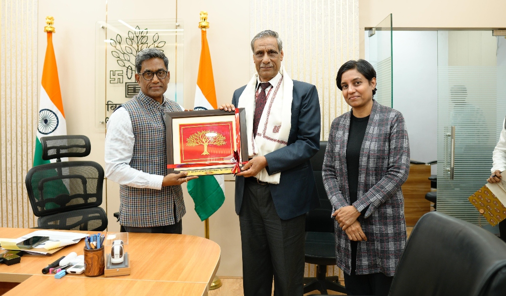
Patna: Bihar’s Chief Secretary, Pratyaya Amrit, met with T.P. Singh, Director General of the Bhaskaracharya National Institute for Space Applications and Geo-informatics (BISAG-N), on Tuesday to discuss the state’s use of geospatial technology under the Prime Minister’s Gati Shakti initiative. Dr. Pratima, Secretary of the Department of Science, Technology and Technical Education, also attended the meeting.

The discussions centred on integrating geospatial data, digital tools, and analytics into the planning and execution of infrastructure projects across Bihar. Officials emphasised that challenges such as land availability, project alignment, drainage issues, flood-prone zones, and forest areas often emerge early in development. The systematic use of geospatial technology could help address these issues before they delay projects.
Dr. Pratima highlighted ongoing coordination between BISAG-N and the Bihar Remote Sensing Application Centre (BIRSAC), noting efforts to standardise departmental use of digital dashboards and tools. Structured field-level feedback and timely inter-departmental coordination were identified as key to making geospatial applications more effective.

The Chief Secretary reiterated that early integration of geospatial inputs in project planning would allow departments to identify potential obstacles and avoid unnecessary delays. He also referred to a high-level meeting held at BIRSAC in January, where directives were issued requiring geospatial assessments and technical approvals for projects costing over Rs 50 crore. BISAG-N’s leadership assured continued support in developing digital tools and providing technical guidance to meet departmental requirements.


