
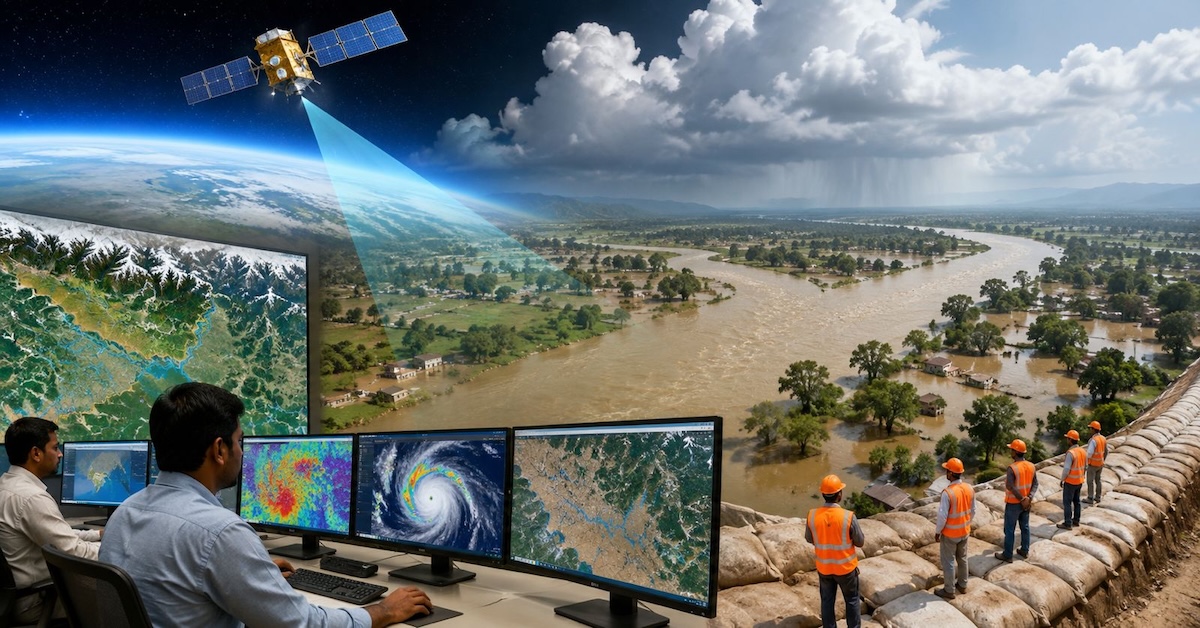
Patna: Bihar has turned to space technology in its latest effort to tackle the annual floods triggered by the Kosi and other Himalayan rivers, with the state government partnering with the Indian Space Research Organisation’s (ISRO) National Remote Sensing Centre (NRSC) for continuous satellite monitoring of the Kosi basin.

The initiative marks the first time the state has deployed satellite surveillance to monitor rainfall and flood conditions across the Nepal-India border, where heavy precipitation often leads to flash floods downstream in Bihar.
Nearly 7,000 Sq Km Under Satellite Watch

According to the Water Resources Department, around 6,960 square kilometres of the Kosi basin are being monitored from space.
Satellite data from flood-prone areas stretching from Champaran to Seemanchal is transmitted directly to the department’s control room, allowing officials to monitor changing river conditions and rainfall in real time.
Deputy Chief Minister and Water Resources Minister Vijay Kumar Chaudhary said the government was integrating modern technology into both immediate flood response and long-term water management.
“Timely information provided by modern technology will allow for early public alerts and accelerate relief and rescue operations during situations like flash floods,” Chaudhary said.
ISRO Data Shows Sharp Rise In Flooded Area
Satellite surveys conducted by ISRO indicate that flooding in the Kosi basin expanded dramatically between 2015 and 2020.
According to the data, the inundated area increased from around 815 square kilometres in 2015 to 5,503.5 square kilometres in 2020.
The districts identified as among the most severely affected include Bhagalpur, Khagaria, Katihar, Darbhanga and Samastipur.
Why The Kosi Remains Bihar’s Greatest Flood Challenge
Originating in the Himalayas of Nepal, the Kosi enters Bihar before joining the Ganga near Kursela in Katihar district.
The river carries enormous quantities of silt and sand from the mountains and is known for frequently changing its course, earning it the nickname “Sorrow of Bihar.”
Earlier this year, the river shifted course near Birpur, prompting the Water Resources Department to construct a 2.5-kilometre channel to divert it back into its main course.
River scientist Prof RK Sinha said the Kosi is formed by the confluence of seven Himalayan rivers—Arun, Tamor, Likhu, Dudh Kosi, Tamakosi, Sunkosi and Indravati.
He said the river’s steep Himalayan gradient results in exceptionally fast flows, making it highly destructive after entering the plains of Bihar.
According to Sinha, while embankments help reduce flood risks, a lasting solution would require close cooperation between India and Nepal, including the construction of a large storage reservoir in Nepal.
A Patna- based engineer said annual repairs are carried out on the Kosi Barrage and embankments before the monsoon, while Indian and Nepali engineers regularly exchange satellite imagery and flood-related information.
He added that a permanent solution to the Kosi’s recurring floods would depend on the construction of a multipurpose dam in Nepal.
Government Expands Flood Preparedness
The Bihar government said it had completed 216 flood-control projects this year at a cost of Rs 447.36 crore to strengthen embankments and improve flood resilience.
A 24-hour flood assistance centre has also been established, supported by a toll-free helpline (1800-345-6145) and dedicated mobile assistance numbers.
In addition, authorities have introduced a system to provide 72-hour flood forecasts at 43 locations along major rivers, including the Ganga, Kosi, Mahananda, Bagmati, Gandak, Adhwara and Ghaghara.
Officials say the combination of satellite surveillance, improved forecasting and cross-border coordination is expected to strengthen Bihar’s ability to issue early warnings and respond more quickly to flood emergencies.