
Patna: Bihar has become the first state in India to introduce a system where land maps will be automatically updated alongside property records during land purchases and sales, officials announced on Tuesday.

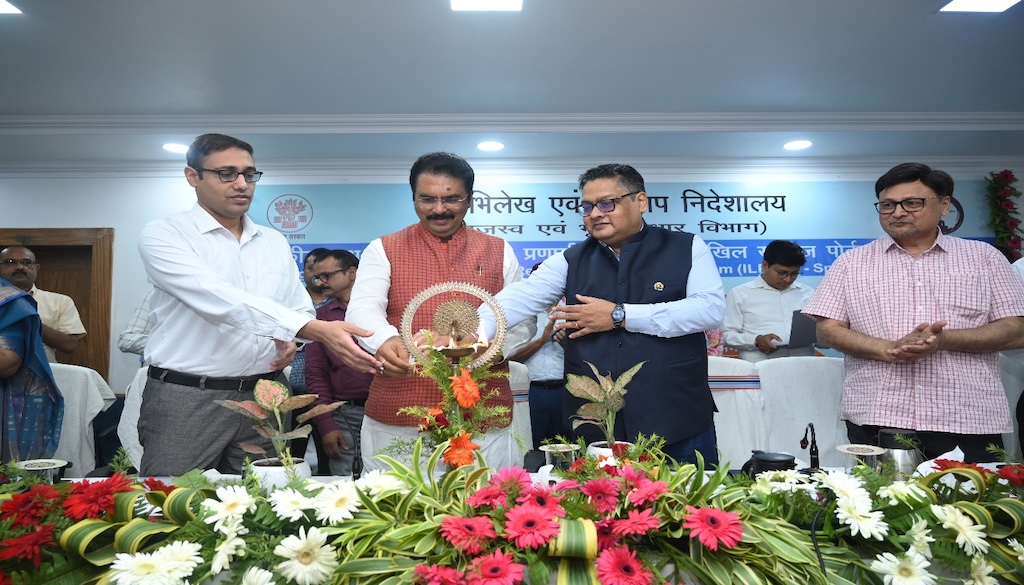
Revenue and Land Reforms Minister Sanjay Saraogi inaugurated the state’s new Integrated Land Records Management System and the Spatial Dakhil-Kharij Portal, developed in collaboration with IIT Roorkee.
Describing the move as a leap towards transparency and efficiency, Saraogi said: “Digitisation is the department’s crucial task. We are moving from the era of physical files to laptops. Once the special survey work is completed, people will start benefiting from local online Dakhil-Kharij (mutation) services. Quick justice and fast services are our main objectives.”

The new integrated system is expected to significantly reduce land-related disputes by providing automatic updates of ownership maps whenever property transactions occur. “If a brother sells his share in joint property, the map will reflect this change immediately,” said Deepak Kumar Singh, Additional Chief Secretary of the department. “Details of who sold which share of land will be readily accessible.”
Currently, the system is being rolled out in over 80 villages across three districts, with plans to expand it statewide following feedback and refinements. Singh noted that the portal will initially be available in villages where final records of rights have been published under the ongoing special land survey.
Officials believe the digital platform will make land records more transparent and accessible, benefiting landowners and reducing bureaucratic delays in property transactions.


