
Patna: The Bihar government has fully digitised the land measurement process, mandating that all applications and reports be handled exclusively through an online system in a move aimed at improving transparency and efficiency.

Officials said offline applications will no longer be accepted, and hard copy reports will not be issued. Any violation of the new rules could invite disciplinary action against the concerned amin (land surveyor).
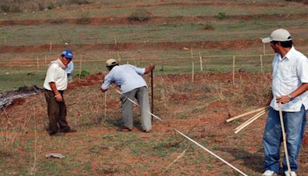
Geo-Tagged Surveys And Time-Bound Process

Under the revised system, surveyors are required to upload geo-tagged photographs from the site during the measurement process. Failure to do so will render the survey incomplete.
The government has also introduced strict timelines:
| Stage | Timeline |
|---|---|
| Assignment of amin | Within 3 days of application |
| Land measurement | Within 7 days |
| Report upload | Within 14 days |
Officials said these measures are intended to reduce delays and curb irregularities in land-related services.
Monitoring And Accountability
The process will be monitored at the level of the additional collector to ensure compliance. Authorities have emphasised that accountability will be enforced at the circle level, with penalties for lapses.
Uma Kumari, circle officer of Pipra, said the new system would eliminate the need for landholders to repeatedly visit government offices.
“Citizens can now apply online from home, and the process will be completed within a fixed timeframe,” she said.
Push For Transparency And Ease Of Access
The digitisation initiative is expected to streamline land measurement procedures, making them faster and more transparent while reducing scope for manipulation.
Officials said the move is part of a broader push to modernise land administration and improve service delivery for citizens across the state.


