Patna: Frequent thundershowers, hailstorms and intense rainfall across Bihar over the past several days have renewed concerns among meteorologists and climate experts about a rapidly changing monsoon pattern in the state.

On Wednesday, parts of Patna and several other districts witnessed heavy rain accompanied by hailstorms. According to the India Meteorological Department, Bihar recorded 89.7 mm of rainfall in the last 24 hours — around 182% above the normal average for the period.
Officials said storm and rainfall activity is likely to continue until May 7.

‘Compressed Weather Pattern’ Emerging
Meteorologists say Bihar is increasingly experiencing what they describe as a “compressed weather pattern”, in which rainfall that earlier occurred gradually over weeks is now concentrated into a few days or even hours.
Experts argue that the monsoon no longer follows its traditional pattern of steady seasonal showers. Instead, intense downpours, thunderstorms and lightning events are becoming more frequent.
According to climate observers, this shift is affecting not only weather systems but also agriculture, urban infrastructure and public safety.
You may like to read this article as well:
Bihar Weather: Red Alert Issued As Thunderstorms, Lightning And Gusty Winds Hit Multiple Districts
Agriculture Under Stress
The altered rainfall cycle has reportedly disrupted Bihar’s agricultural calendar.
Experts said delayed rainfall during June and July has affected paddy transplantation schedules, pushing farming operations behind by nearly three to four weeks in some regions.
At the same time, heavy rainfall events in September — a period traditionally associated with retreating monsoon conditions — are damaging standing crops through flooding and strong winds.
Agricultural scientists also warn that intense short-duration rainfall is eroding fertile topsoil, reducing land productivity over time.
Urban Flooding And Lightning Risks
Rapid rainfall accumulation is also straining urban drainage systems.
Meteorologists noted that many city drainage networks are designed to handle around 20–30 mm of rainfall over 24 hours, while recent storms have delivered close to 100 mm within a few hours in some places, leading to widespread waterlogging.
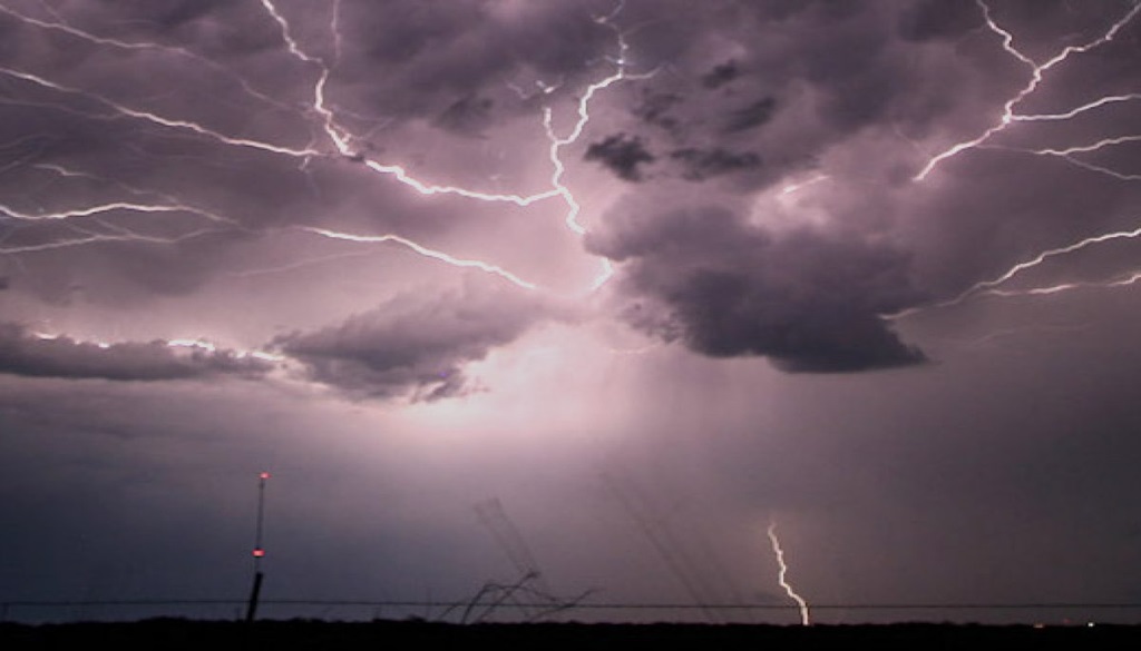
Experts further pointed to a rise in lightning-related fatalities, linking the phenomenon to extreme heat, humidity spikes and formation of dense cumulonimbus cloud systems.
You may like to read this article as well:
Hailstorm Hits Patna As Heavy Rain Darkens Afternoon Skies; Alert Issued For 15 Bihar Districts
Changing Monsoon Trends
Data cited by meteorologists indicates a decline in the number of rainy days in Bihar over recent decades, even as extreme rainfall events become more common.
While the state earlier experienced around 55 to 60 rainy days during the monsoon season, experts estimate that figure has now reduced to roughly 35 to 40 days.
At the same time, rainfall during September has reportedly increased significantly compared with historical averages.
Climate Change Concerns
Ashish Kumar Singh said rising temperatures in the Bay of Bengal due to global warming are contributing to the formation of stationary low-pressure systems over Bihar.
He said these systems accumulate excessive moisture and energy before releasing intense bursts of rainfall in concentrated areas — a phenomenon experts are increasingly referring to as “rain bomb” situations.
Former Bihar State Pollution Control Board chairman Ashok Ghosh called for greater focus on water harvesting and “sponge city” planning to improve urban resilience.
He also advocated revival of Bihar’s traditional Ahar-Pyne irrigation system and adoption of faster-maturing paddy varieties better suited to changing climate conditions.
Experts warn that unless adaptation measures are accelerated, Bihar could continue facing a cycle of drought-like conditions during early monsoon months followed by episodes of extreme rainfall later in the season.